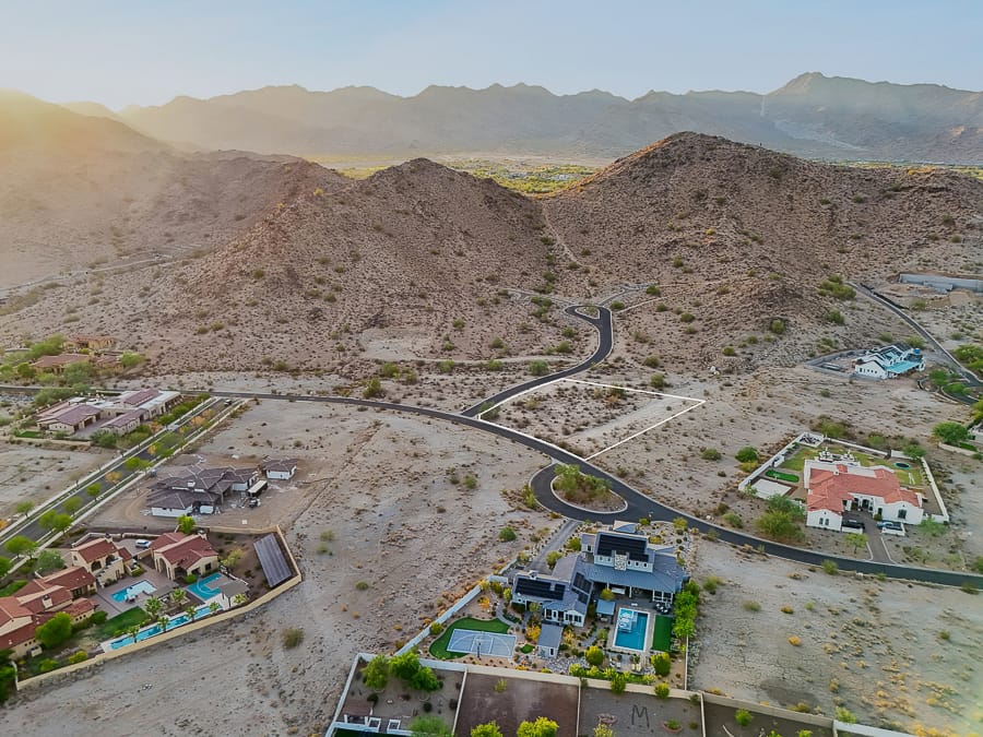
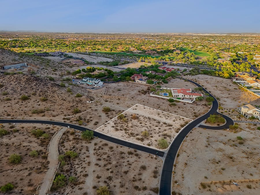
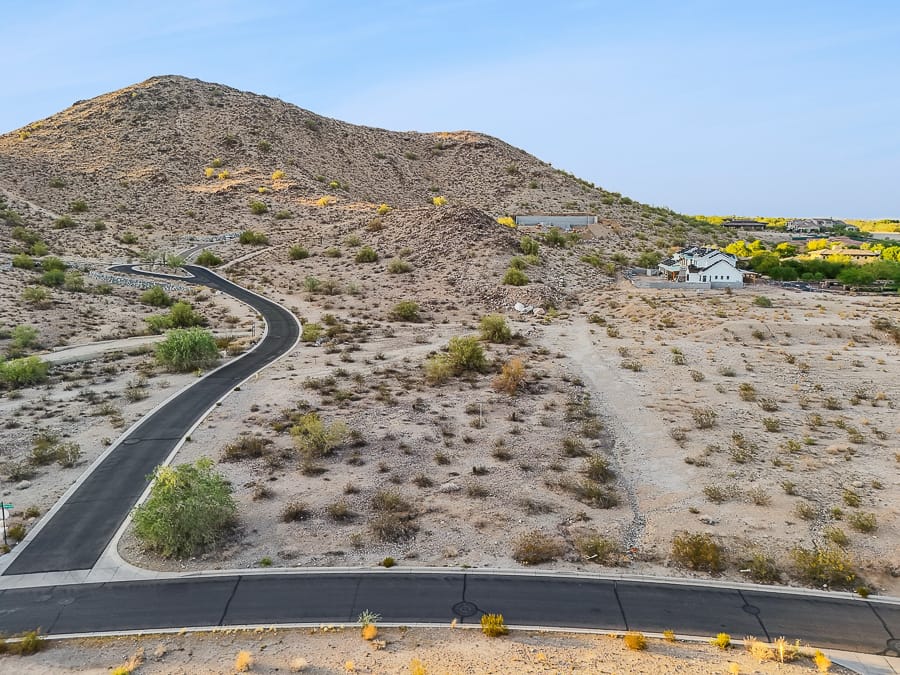
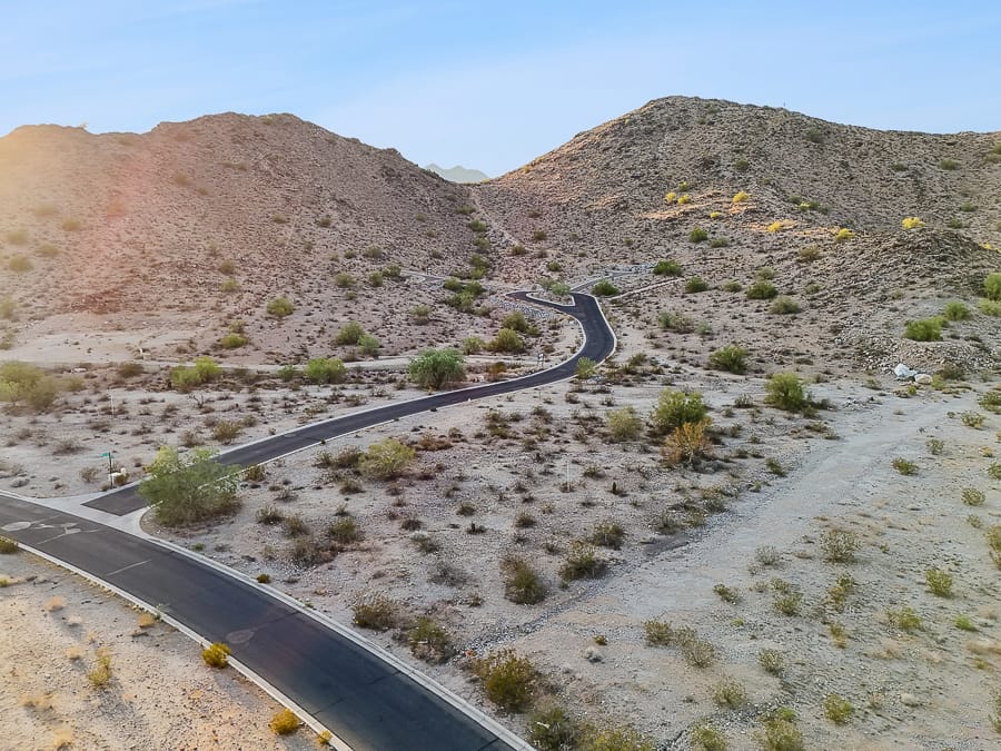
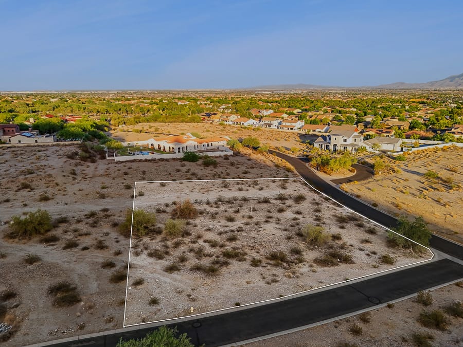
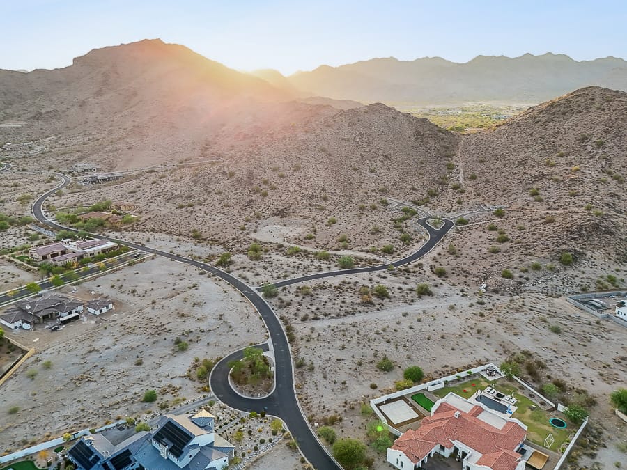
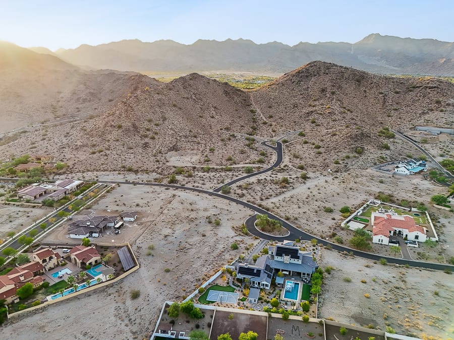
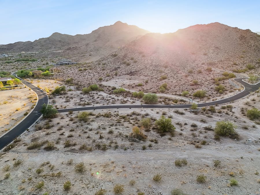
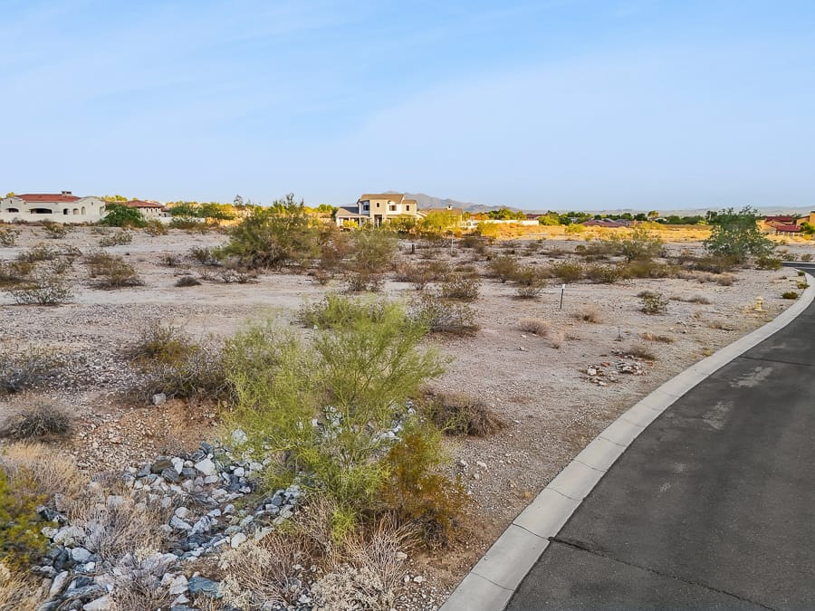
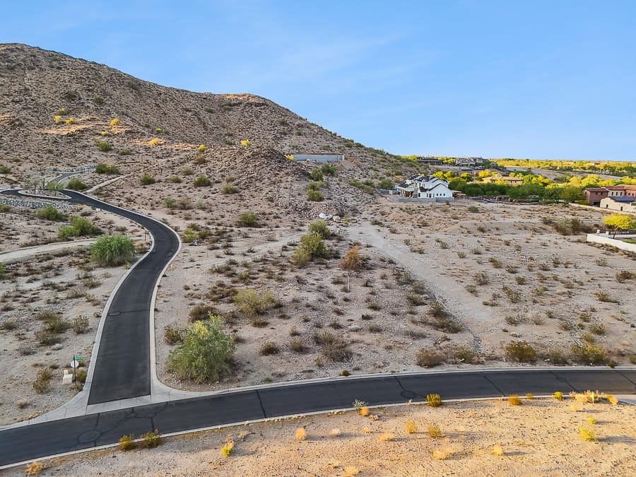
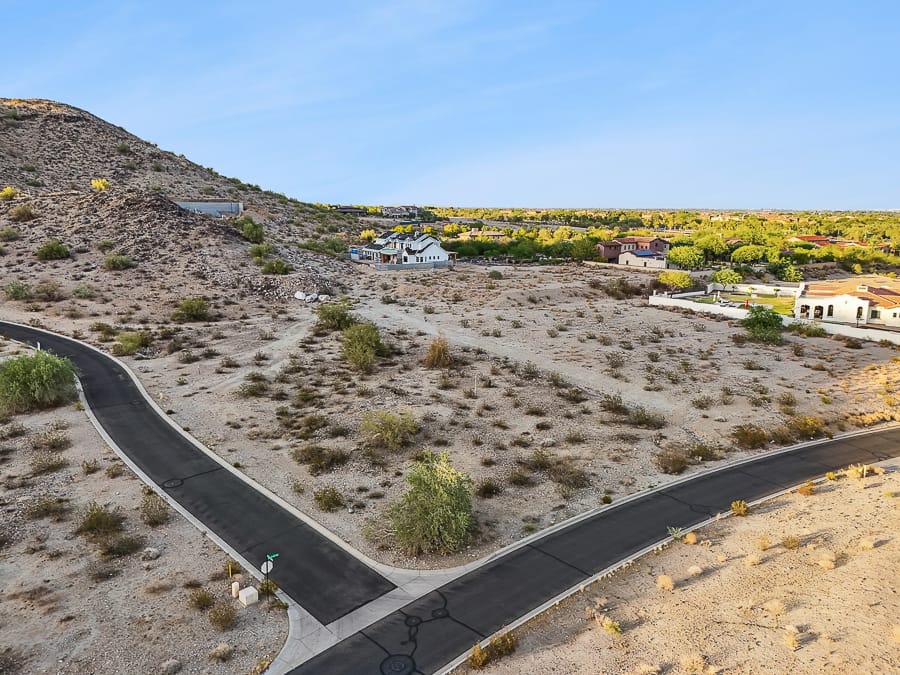
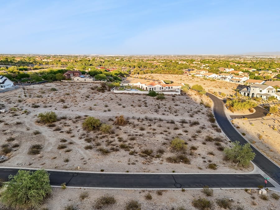
This package is for undeveloped land or vacant lots only. This package comes with 10-15 aerial photos of the lot (2 images with the lot lines highlighted) and surrounding areas, 5 ground level photos of the lot or surrounding signage or important features inside the neighborhood, and one aerial drone video of your lot. One clip of the drone video will include lot lines.
Client is responsible for providing us a map of the parcel so that we can draw property lines. Client is required to meet our drone pilot at the site.